
This article outlines the different steps, tools, and features you can use to identify road safety risk and interpret chainage graphs. For this example, we will use our Osborne Park Urban Road Safety usecase.
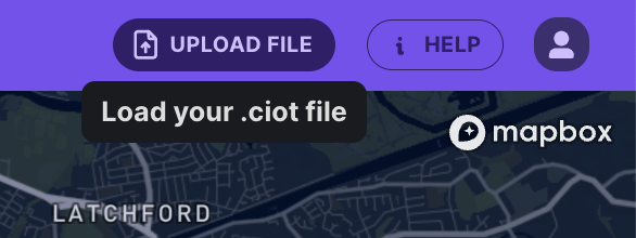
If you're a Compass Account Holder, click here to download the .ciot file to upload into the platform and follow along. Upload a .ciot file using the Upload File button, located at the top right-hand corner of Road Intelligence.
1. Finding Locations of Interest
Use the search bar to quickly find a specific road or location of interest. For this usecase, we've searched for Osborne Park.
Next, select the date and time that you want to view data for. There are also advanced options as well, such as selecting specific days of the week or adding multiple date and time ranges. We've selected a date range from after the program was implemented.
2. Selecting Specific Areas or Vehicle Paths
Use the Path Analysis button to select the section of road you are interested in. In this case, we've drawn a path that runs through one of the intersections where the low-cost roundabouts were installed.
3. Interpreting Results
For this case study, we will focus on the Chainage graphs. The client hypothesised that the painted roundabouts would have an impact on driver speeds and braking. The chainage graphs allowed for better visualisation of speed data and what section of the path corresponds to the graph.
To view the full result of this case study, read the Osborne Park Urban Road Safety usecase.

Read more about chainage graphs here in our product updates from Feb 2024