
New Zealand Boundaries for Origin-Destination and Near-Miss Tools
We've added Boundaries for New Zealand in the Zones panel. This is available in the Origin-Destination and Near-Miss tools. This includes:
- Wards
- Territorial Authorities
- SA1,2 and 3
- Regional Councils

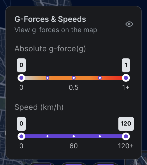
 G-forces and Speed Heatmap UI Change
We've changed the dots on our G-force and speed heatmap to improve visibility and layering. More severe dots now appear stacked on top and we've added an outline to each dot to improve legibility. We've also included assisted mode, which can be accessed under the Profile icon

Near-Miss UI Change
We've added g-force labels to each near-miss so you can use both colour and g-force to identify near-miss risk profiles more easily. If these labels get annoying, you can toggle them on and off in the Near Miss Visual Layer pop-up by unchecking the 'Show G-forces Labels' box. 
We've also added extra shade of dark red for the absolute g-force filtering to allow for better visual classification between g-force readings of 0.5 and 1.0.
New Mono Map
We've added a new mono map view. All map layers are significantly more visible. You can toggle this on and off in the map view button or switch between different map styles.

Origin-Destination Result Panel UI changes
We've aligned the UI in the results selection from Path Analysis into OD in the results panel. You can now select to view Car, HCV, and All vehicle-type data. The 'all' option is currently missing vehicle pathing on the map, but the graphs are still available. We've also added name labels to selection areas to make it easier to know which zone corresponds to which colour and result output.

Other Improvements:
- Path Analysis is now faster
- Trajectories capped at 1000 per date range to accommodate for older browsers
- Intersection analysis now supports WKT import
- 3D building option added to mono maps